Been here for several months now, so I guess it’s time update my #introduction post! The following is probably inaccurate!
I’m Alex, better know as Axman6 pretty much everywhere you can think of - IRC (libera.chat#haskell etc.),  site, probably LinkedIn and others too.
As far as jobs and hobbies are concerned, I’ve been a professional #Haskell developer for nearly a decade, with various roles in finance and #HFT (despite not really having much of an interest in finance…), in the public sector where I worked on much of the #RenewableEnergy parts of https://nationalmap.gov.au at #NICTA & #CSIRO, writing backend services in Haskell, doing lots of #geospatial data processing, #SQL, #DevOps and much more.
Previously writing #Daml, a dialect of Haskell, for a large financial system. Currently working for a Canberra based startup making scientific test and measurement equipment using #FPGAs, #python & #C.
if you’re in need of an experienced remote Haskell dev who loves to make things go fast, I’d love to have a chat.
Previously undertaking Masters in #cybersecurity at #UNSW but gave it up because of the lack of advanced content.
I’ve got a strong interest in #cryptography, #integrity, as well as #hacking things to see how they work, and love a good #CTF.
On the more personal side of things, I’m based in #Canberra, #australia. As you can see from my profile pic, I’m also a volunteer in the State Emergency Service - I guess you could say I like pin coladas, and talking walks in the rain… in a storm… on your roof… with a chainsaw


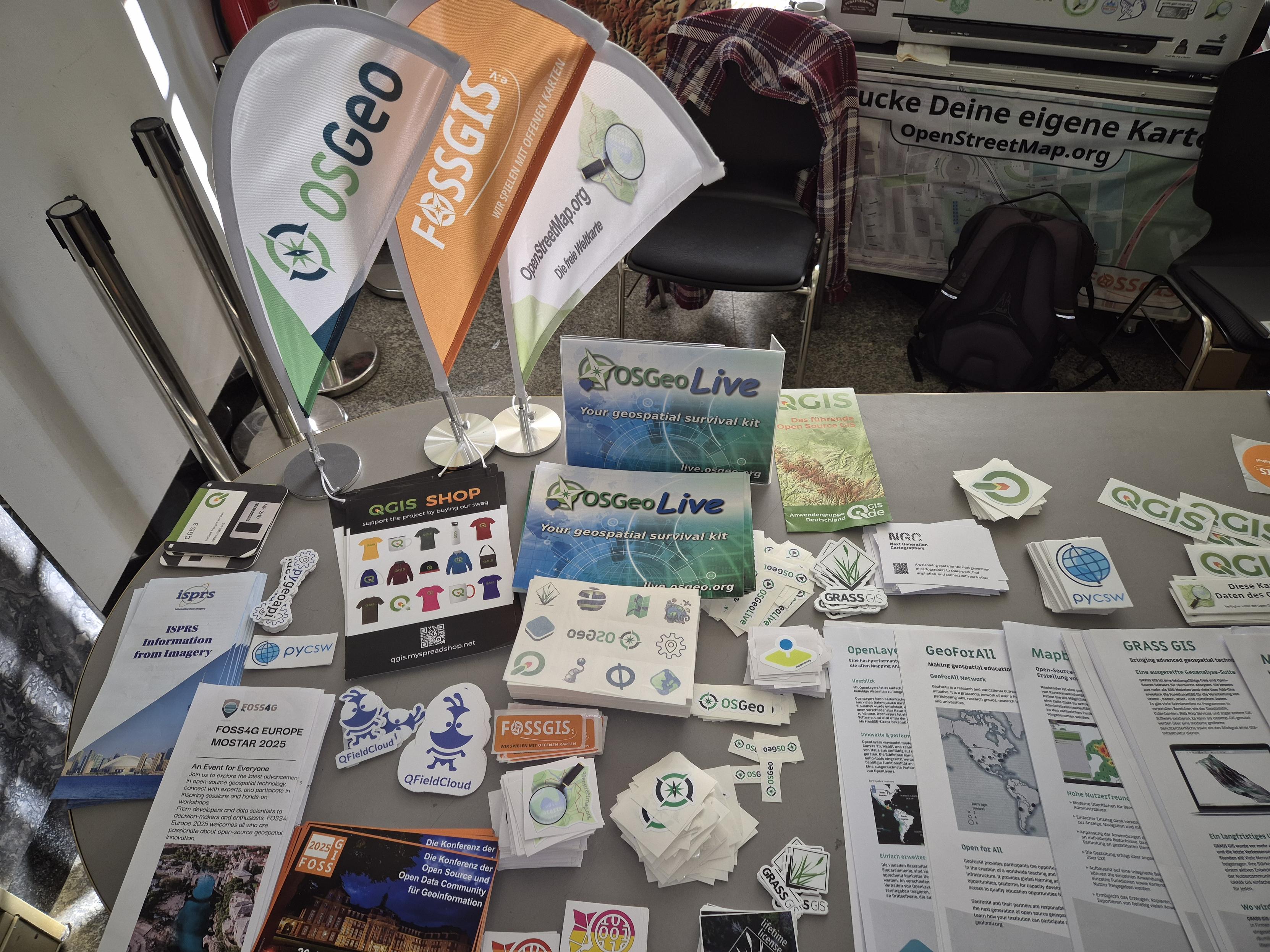


 Be part of our Reddit community, a place for GIS enthusiasts to exchange knowledge, build connections, and inspire innovation.
  Share your expertise, collaborate with peers, and suggest new features.


 New preprint: Urban highways are barriers to social ties:
 and a bar plot(right) over 50 cities. (Left) Heatmap of all Barrier Scores B(d) grouped into
0.5 km bins of social tie distance. Color denotes Barrier Score, square size denotes
the fraction of social ties in each distance band relative to all ties in the city. All cities
have positive Barrier Scores over most distances. Often, there is a smoothly reached
peak distance, for example in Orlando at around dpeak ≈ 1.5 km. The top row
labelled “ALL CITIES” reports the distance-binned Barrier Scores averaged over all
cities. (Right) The bar plot labelled “CITY” reports the Barrier Score B calculated
considering all ties with distances up to 10 km.")